Resources
Texas Muslim Atlas
Regional guides to the institutions people actually use: mosques, schools, campuses, cultural spaces, clinics and burial services.
Edited by Omar Afra
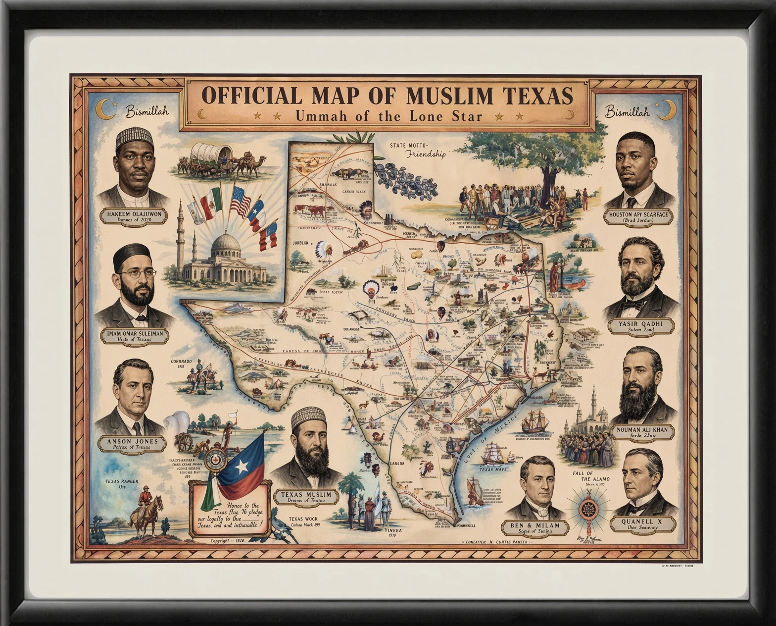
The Texas Muslim Atlas connects local history with practical information. Each regional guide identifies institutions by name, explains what they do and points to their own current sources. It is designed for a reader finding a class or prayer space, a family comparing school information, a student arriving on campus, or a writer trying to understand how a region’s institutions developed.
The starting edition covers Houston, Dallas–Fort Worth, Austin and San Antonio. These are regional guides, not a claim to have enumerated every Muslim institution or drawn precise boundaries around where Muslim Texans live. Named municipalities stay visible: a cemetery in Waller, a center in Helotes and a school in Garland do not become Houston, San Antonio or Dallas city addresses simply because the regional heading is more familiar.
Four regions, four distinct guides
| Region | Historical and institutional focus | Practical resources |
|---|---|---|
| Houston | ISGH’s formation, Black Muslim institutions, Spanish-language education, downtown reuse and the Ismaili Center | Schools, UH and Rice, public visits and Waller-area burial information. |
| Dallas–Fort Worth | South Dallas history, IANT in Richardson and Denton’s university connections | Schools across several cities, SMU spaces, Richland Hills services and regional burial options. |
| Austin | ICGA, Nueces, NAMCC and the development of educational institutions | UT connections, Manor Road, Cedar Park and the cemetery in Dale. |
| San Antonio | ICSA, MCECC, Masjid Bilal ibn Rabah and Helotes | Learning programs, UTSA, clinic links and funeral inquiries. |
An institution is more than a map pin
The guides distinguish a community, an organization, a building and a program. Founding a congregation, opening its building and launching its school can be different events. A service sharing a mosque address may have a separate operator or appointment process. Keeping those relationships explicit makes the Atlas useful for both historical reading and practical visits.
Worship traditions and institutional histories are described from the organizations’ public information; they are not inferred from people’s names, appearance or nationality. The institution index provides a compact, source-linked list of selected places covered in this edition. It describes institutional resources, not the religious identities of residents around them.
How to use the guide on the ground
Choose the region, identify the kind of service and follow the institution’s official link. Confirm the actual venue, date and access arrangements for a prayer, class, tour or appointment. A calculated prayer time is not necessarily a congregation’s Friday schedule, and a historic address is not always its temporary operating venue. The guides preserve these distinctions where the source makes them visible.
For statistical questions, the Almanac compares population and mosque estimates. For the longer chronology, read Texas Muslim History. For a specific facility or service, continue to mosques, schools, campus resources or funerals and cemeteries. These are complementary routes through the same community landscape, not competing versions of one directory.
guide
Muslim Houston: history, institutions and practical resources
A regional guide to mosques, schools, campus life, Spanish-language programs, cultural visits and burial services across Greater Houston.
guide
Muslim Dallas–Fort Worth: a North Texas community guide
Distinct histories and practical connections across Dallas, Richardson, Garland, Plano, Irving, Denton and the Fort Worth side of the metroplex.
guide
Muslim Austin: a Central Texas guide to institutions and services
From student-centered Nueces Mosque to North Austin, Manor Road, Cedar Park and the cemetery in Dale: history and practical connections.
guide
Muslim San Antonio: institutions, history and everyday resources
A practical guide to San Antonio and Helotes, including community centers, education, campus life, clinic information and funeral contacts.
guide
Muslim El Paso: community history, prayer and education
The Islamic Center of El Paso, education resources and a recorded account of migration and belonging in the city.
guide
Muslim Rio Grande Valley: McAllen and Edinburg resources
Two local institutions, their public contact information, and documented community activity in the Valley.